 |

Submitted by , posted on 23 January 2001
|
 |

Image Description, by

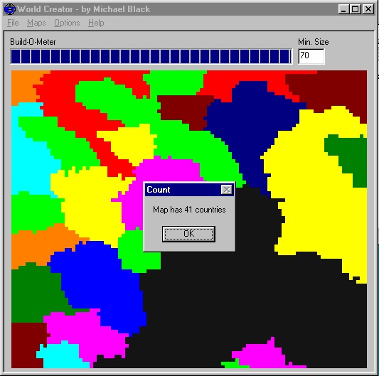
Today's "Blob Map" made me search through my Way Back files for this little
guy. It's a program that I onced used to genereate political boundaries for
a map after the terrain was generated.
The black area in this shot is a bay or an ocean and the colors are
countries or territories.
The source code is in MFC and is very simple (probably 100 lines). If
anyone would like to see it, I can put up a link.
-Michael Black
|
|

