 |

Submitted by , posted on 20 May 2001
|
 |
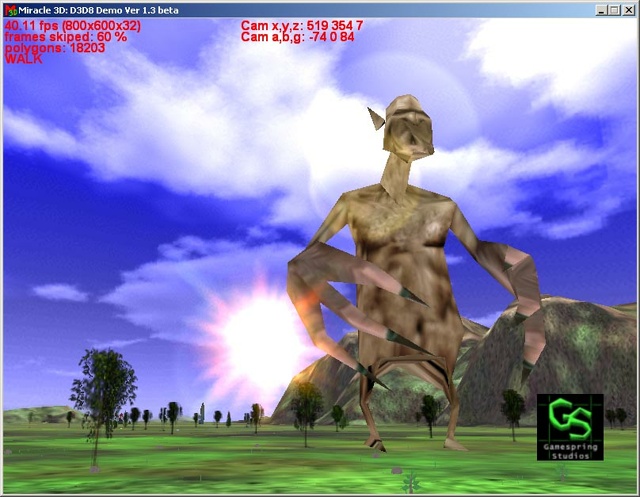
Image Description, by

Yes, it's a terrain stuff once again (as it's awful popular nowadays).
Here's the feature list:
Geomipmapping as the base LOD (with geomorphs implemented), 1024x1024
terrain stuff, 1km visibility with 1 meter terrain mesh step. By the way,
fog here is just for fun, nothing about to hide view frustum culling work;
Skybox with multiple clouds layers and diurnal cycle;
Flexible object management system (under development).
This shot has been taken using Cel-600 + TNT2 Vanta (8Mb video memory).
contact with team s_scorb@mail.ru
Stanislav Scorb
|
|